The Tayrona National Park

The Tayrona National Park

Home 9 Author archive for J ( Page 25 )

Where the jungle ends on the beach

Hiking through the jungle to spectacular beaches, wildlife spotting…The location of Tayrona National Park is spectacular, between the Caribbean Sea and the highest coastal mountain range in the world, the Sierra Nevada de St. Marta. Not surprisingly, it is one of the most popular national parks in Colombia. Add to that its location 35 km from Santa Marta and 240 km from Cartagena, and you have a fine stopover to grab while traveling along the North Coast. Many travelers combine a visit to Tayrona National Park with Minca, Ciudad Perdida and La Guajira.

Influence of the Indian community
Long ago, the Tairona Indians lived in PNN Tayrona and today their descendants, the Kogui, live in the Sierra Nevada. They have preserved their culture and traditions and -together with other indigenous groups- are closely involved in PNN Tayrona. About 3 times a year Tayrona NP is closed so that the indigenous groups can perform spiritual rituals and the ecosystem can recover.

Find information on current closing dates and other tips here.


#ToColombia tips

#1 Visiting Tayrona, this is how it works!
(updated February 2023)

  1. Pay COP5000 for the mandatory insurance
    After this, you get an orange band on
  2. Go to the box office to pay the entrance fee.
    COP 54,500 low season- COP 64,500 high season. At the end of April 2022, we paid COP 57500. Payment by debit card is possible
  3. Show a copy of your passport + Covid-19 vaccination certificate
    The rules are changing rapidly, but at this time a vaccination certificate is still required for Tayrona NP. A yellow fever vaccination is recommended but not required.
  4. A van can take you to the start of the hike for COP5000.
    These go every few minutes. The start of the hiking trail is 5km further up so highly recommended. The same goes for being taken back to the exit.

#2 Avoid the queues and arrive early
The park opens at 7:00am. If you come after 12:00am, you may not be let in due to the maximum number of visitors allowed per day. On holidays and weekends it can be very busy, so if you are flexible, plan your visit during the week.

#3 Bring plenty of cash
We entered the park at El Zaino, the main entrance. If you enter the park at the Calabazo entrance, you can only pay in cash. Also inside the park itself, you can’t take debit cards and it’s cash only.

#4 Keep in mind the closure dates
3x a year Tayrona NP is closed so that the indigenous groups can perform spiritual rituals and the ecosystem can recover.

The closing dates in 2023 are:

  • Feb. 1-15
  • June 1-15
  • October 19-November 2

Check the website of Tayrona National Park for updates.

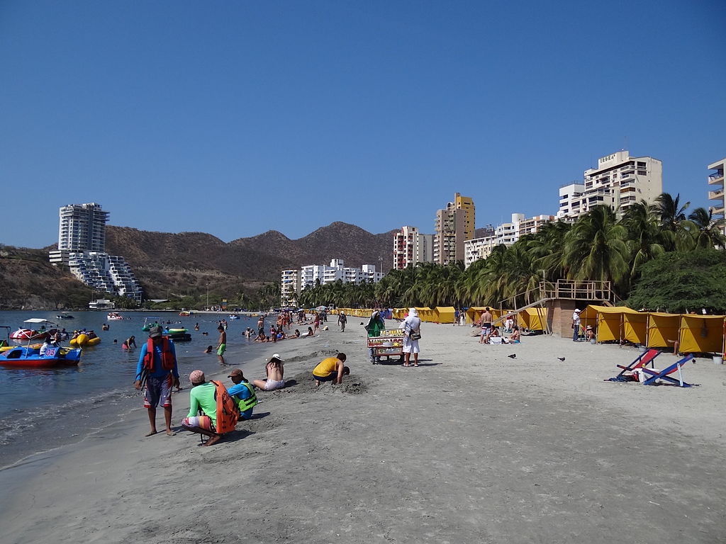
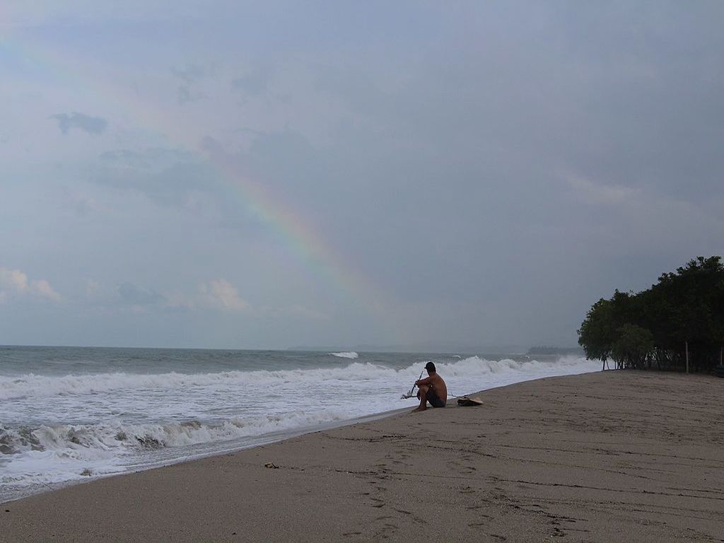
#5 You can’t swim everywhere
Due to strong currents, not all beaches are suitable for swimming. Tayrona’s most popular beach is Playa Cabo San Juan and you can also swim at Playa La Piscina. Always keep a close eye on the warning signs and flags at the beaches.

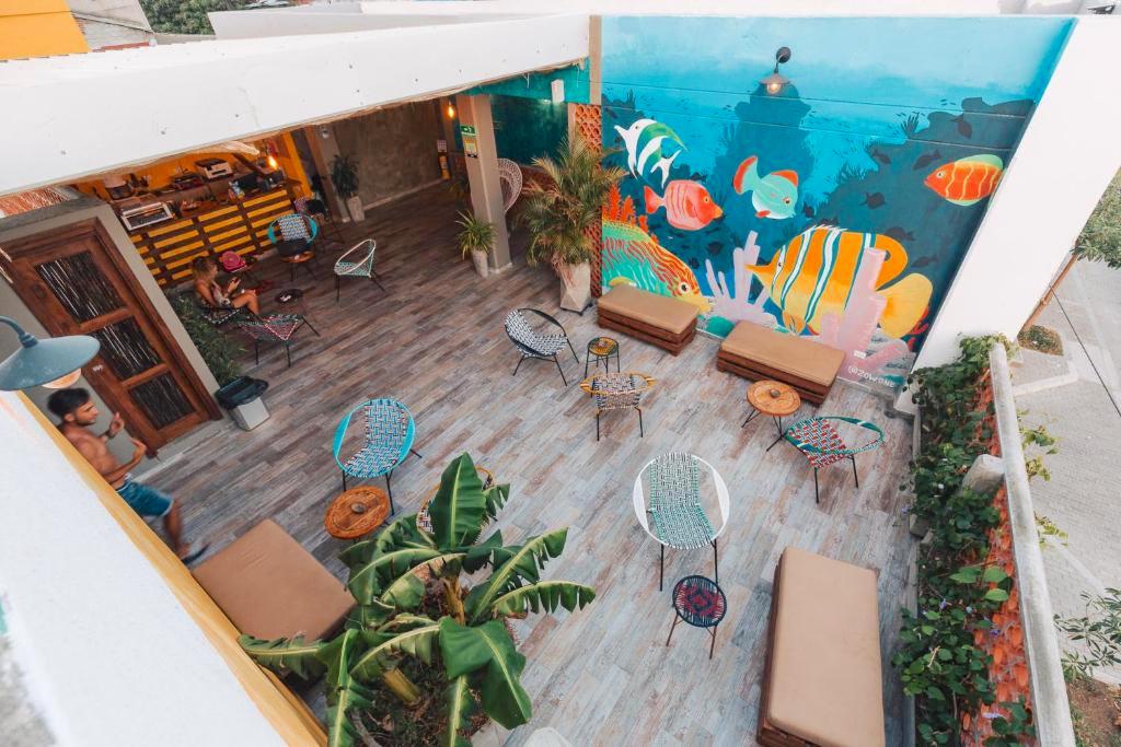
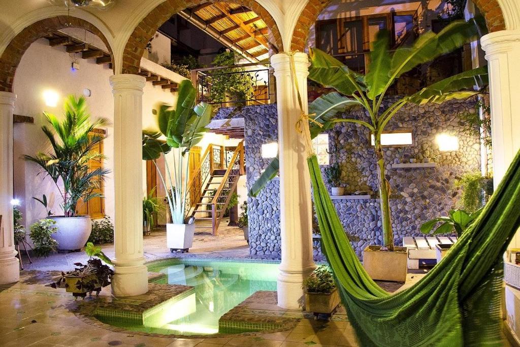
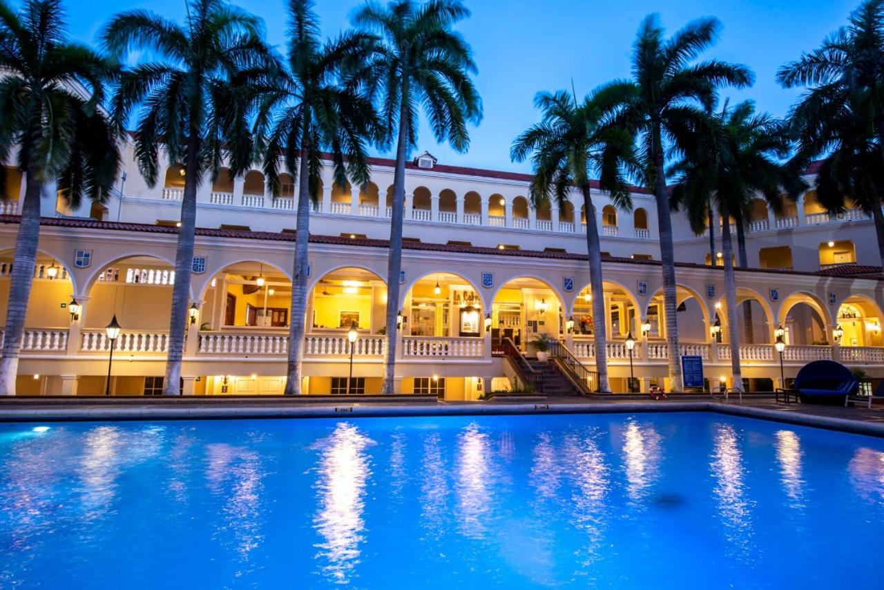
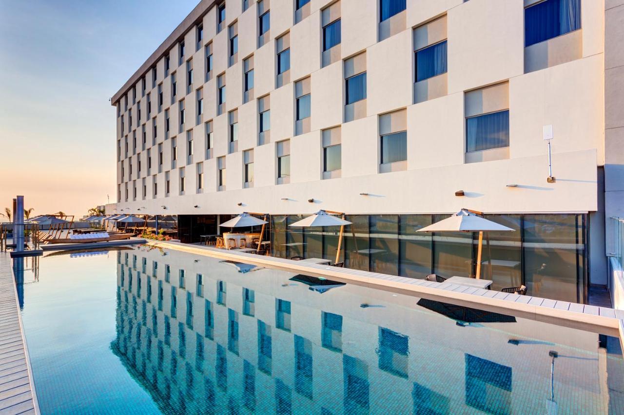
#6 ToColombia hotel tip
After an active day in Tayrona, want to relax in a beautiful lodge near the park? Then check out Senda Koguiwa lodge This lodge is a 10-minute walk from the park’s main entrance. Also at Kantawa Eco Spa hotel is a great place to relax after a day of hiking in Tayrona National Park. The hotel features an outdoor pool, spa and wellness center with a steam room, hot tub and Turkish bath.

Check out more hotels and hostels in and around Tayrona. and in Santa Marta. Check out here if you want to go to Tayrona National Park with a guide.

Read here the comprehensive travel guide to Tayrona National Park

La Guajira

La Guajira

Home 9 Author archive for J ( Page 25 )

North coast desert

Extreme landscape
La Guajira is the northernmost region of Colombia. Capital is Riohacha, a city of about 300,000 inhabitants, 175 km from Santa Marta and 92 km from Palomino. Riohacha is the gateway to “Alta Guajira, a sparsely populated, isolated and extremely arid area. The landscape consists of desert-like plains, deserted beaches and high sand dunes.

The Wayuu community
La Guajira is habitat for the Wayuu, the largest group of Indians in Colombia. This is one of the poorest and least visited areas of Colombia. The Wayuu have survived in the extremely dry area for hundreds of years, including by fishing and raising goats. As a traveler, you can learn about Wayuu culture by spending the night in a Rancheria, an authentic Wayuu accommodation.
Despite La Guajira being one of the least visited areas of Colombia, the area is becoming increasingly popular with travelers, attracted by its extraordinary nature and Wayuu culture.

Off the beaten track adventure
If you go to La Guajira, you are truly going on an adventure. It is an off the beaten track destination with little infrastructure. Driving is off-road and you sleep in hammocks or simple huts, often without running water and with limited electricity. You have the beaches in la Guajira largely to yourself. You can kitesurf in Cabo de la Vela, “sandboard” in the Tarao dunes and bird watch in Parque Nacional Natural Macuira, La Guajira’s “wettest” area. If you travel to Punta Gallinas, you can do this with an organized tour from Cabo de la Vela or from Riohacha. Going to Punta Gallinas with a tour is absolutely a must, given the limited infrastructure. Plus, with a guide, you get an insider’s look at the Wayuu culture. Check out the different options here.

Safety in La Guajira
It is important for travelers to be well-prepared, as the safety situation in this region differs from other tourist areas in Colombia.

1. Underdeveloped region
La Guajira is one of the least developed regions of Colombia. Due to poverty, limited government presence, and insufficient infrastructure, certain areas can be unsafe, especially for individual travelers.

2. Crime
In urban areas such as Riohacha, safety is comparable to other Colombian cities, but it remains important to stay alert for petty crime such as pickpocketing.

3. Traveling to remote areas
Areas like Uribia, Cabo de la Vela, and Punta Gallinas are safe to visit, but only in the company of a local guide or tour company. Driving on your own is strongly discouraged, mainly due to poor road conditions, lack of signage, and potential risks such as informal roadblocks or theft.

4. Wayuu territories
The indigenous population lives mainly in the north of La Guajira. While the Wayuu are generally hospitable, some communities are not accustomed to tourism. Respect—such as asking permission before taking photos—is important.

5. Tips for safe travel in La Guajira

  • Book an organized tour to remote areas like Punta Gallinas through certified tour operators.

  • Do not travel at night in this region.

  • Bring enough cash; ATMs are scarce outside major cities.

  • Use sun protection, drink plenty of water, and prepare for high temperatures.

#ColombiaMyWay  tips

Buy an original Wayuu mochila (shoulder bag) or Chinchorro (original Wayuu hammock). It takes the Wayuu ladies about a week to make a mochila and 2 to 3 months for a Chinchorro. Tourism is a welcome, important source of income for the Wayuu, so your pesos are certainly money well spent here.

Check our travel guide Santa Marta and our other travelguides if you’re continuing your round trip along the Caribbean coast. 

Ciudad Perdida: The Lost City in the Jungle of Colombia

Ciudad Perdida: The Lost City in the Jungle of Colombia

Home 9 Author archive for J ( Page 25 )

Lost City, the Lost City

What is Ciudad Perdida in Colombia on the Caribbean Coast? The Ciudad Perdida is better known as The “Lost City”. It is one of the largest pre-Columbian villages that were discovered in the “Americas.” Over 1,000 years ago, this village was built by the Tairona Indigenous community and nowadays, the ruins ca be visited with a multi-day trek from Santa Marta. The ruins are located between 900 and 1200 high in an area of about 2 km2 in the dense jungle of the Sierra Nevada de Santa Marta. During the trek, you will cover about 45 km and climb the final 1,200 steps to the entrance.

History of the Lost City

According to the history, the “Lost City” is called Teyuna by the indigenous communities. According to them, the city was the center of a whole network of villages of their ancestors, the Tairona. During the Spanish conquest, the Tairona left the Lost City and went deep into the Sierra Nevada. The Wiwa, Kogi, Kankuamo and Arhuacos are the direct descendants of the Tairona.

Treasure Hunters
In 1972, Ciudad Perdida was rediscovered by treasure hunters. Indigenous communities knew of the existence of the Lost City but did not talk about it for fear of many visitors. After the Lost City was opened to tourists, the hike closed in late 2003 through 2004. It became unsafe during the drug conflict. In 2005, the hike was reopened and the Colombian military began patrolling the area, which has been safe ever since.

Archaeological excavations
The “Teyuna Archaeological Park” is managed by ICANH, the Colombian Institute of Anthropology and History. According to archaeologists, only 10% of the city has been excavated and this remains the case. In fact, it was decided by the indigenous community that no more excavation would take place. The Gold Museum in Santa Marta and Bogotá, display some of the archaeological excavations, such as pottery, gold and necklaces.

Ciudad Perdida trekking

The Ciudad Perdida trek, one of Colombia’s great adventures
As with many adventures, the way there is the biggest adventure. During a trekking of 4/5 days, you will swim under waterfalls, spot birds and wildlife and enjoy the sounds of the jungle. You will meet people from the Indigenous communities and can see how they live in the primitive villages. During the hike, you will have to cross the Buritaca River several times, with or without the help of ropes. The guide shares his insider knowledge with you, which makes the whole experience extra special.

Program 4 days 3 nights
This program looks something like this with each tour operator:

Day 1: You will be picked up in Santa Marta. From here, the drive to Mamey, where the trail begins. From here begins the hike to Camp #1. (approx. 4h)

Day 2: Hiking to Camp #2, not far from Ciudad Perdida. The trail passes Kogi and Arhuaco villages. This is the longest hiking day. (approx. 8h)

Day 3: Early start of the hike to Ciudad Perdida and climbing the 1,200 steps. (Approx. 5h hiking on this day and approx. 3h free time at Ciudad Perdida)

Day 4: Return to Mamey. The last kilometers are downhill. (approx. 6h)

Difficulty level
Medium to high

Distance
Approximately 45 km

Walk for 4 days to Ciudad Perdida, Santa Marta

Book now the Viator 5-star guided tour to the Lost City (Ciudad Perdida).
Pick-up service, meals and accommodation during the tour are included.
Duration: 4 days. Language: English.

How to get to Ciudad Perdida?

From Santa Marta (40 km), you can go to Ciudad Perdida with an official tour operator. You cannot do the trek on your own; it must be done with a certified guide. Only guides who hold the OPT certificate (Operación de Programas Turísticos) are allowed to take guests to Ciudad Perdida. Check out the different tours you can do to the Lost City in the Sierra Nevada.

From Santa Marta, a 4WD will take you to the park entrance in an hour. From there it continues on an unpaved road to the village of Mamey (also called Machete Pelao), where the hiking trail begins. Accommodation is in hammocks or beds.


Prices

The Colombian government has set a fixed price of COP2,150,000/$38 for the trip of 4 or 5 days (2024). You can also do a 3-day trip COP2,700,000/$675, 5 days 2,500,000/$625 or 6 days 2,750,000/$688. This includes all food, lodging and guide. Most touroperators also include a travel insurance. Check the tour description for this before booking your adventure. 

Here you can check the current exchange rate

Climate + best travel period

Climate
It is hot and humid in the Sierra Nevada de Santa Marta. The maximum temperature is 40 degrees. At night it cools down and the minimum temperature is 16 degrees. The dry season is from December to March.

Best time to travel
You can do the trek to Ciudad Perdida all year round,
except for the month of September. The trail is closed for a month each year so that the Indigenous communities can hold ceremonies and nature can recover. The hike is best done in the dry season from December through March, when the trails are not muddy and the water in the river is lower. This makes it easier to cross the river.

How many days do you need?

If you are used to long hikes, you can do the 4-day trip. If you want to take it a little easier and hike fewer hours a day, then you can do the 5-day trip. The price is the same no matter how many days you choose.

Important info A-Z

Baggage

Check with the tour operator if you can leave your backpack in the office in Santa Marta. Then you will only have to carry a small backpack during the trip. You have to carry the luggage yourself, so bring as little as possible.

Taking pictures

If you want to take a picture of the people of the indigenous community, it is customary to ask permission. It is considered disrespectful to take pictures without permission

Packing List
  • Bottle of water
  • Sunscreen
  • Sunglasses
  • Hat or cap
  • Good anti-mosquito spray (with DEET)
  • Swimwear
  • Good hiking shoes
  • Sandals that can get wet
  • Light cloths
  • Warmer shirt/pants for cooler nights
  • Plastic bags for dry storage of your belongings
  • Towel
  • Poncho (in rainy season)
  • Flashlight
  • Extra battery for camera
  • Cash
  • Copy passport
  • Antidiarrhea pills
  • Paracetamol
  • Ointment/pills for insect bites
Traveling with children

Unsure if the hike is suitable for your kids?

Then read this article with tips from an official tour operator.

Language

If you do not speak Spanish, ask the touroperator in advance for an English-speaking guide or translator. An English-speaking guide can often be booked on request.

Telephone and wifi

There is no phone/wifi coverage anywhere on the trail.

Vaccinations

Yellow fever vaccination is recommended

Beaches on the Caribbean coast of Colombia

Beaches on the Caribbean coast of Colombia

Home 9 Author archive for J ( Page 25 )

Beaches for every taste

Beaches on the Caribbean coast of Colombia come in all shapes and sizes: idyllic white sandy beaches on a tropical island, deserted beaches in the “desert“, dream beaches with the jungle as a backdrop and city beaches with highrise hotels. Here you will find information about beaches in the area of Cartagena and Barranquilla, Santa Marta, Tayrona National Park, San Andrés and Providencia Islands and the beaches on the northernmost part of Chocó.

Beaches of Cartagena and Barranquilla

Barranquilla and Cartagena themselves have few beaches. In Barranquilla, locals like to go the beach of Puerto Colombia, especially in the weekends.  In Cartagena, you can catch a taxi from the center to Bocagrande, also called “Little Miami beach.” (10 minutes). From the Muelle Turistíco de la Bodeguita in Cartagena you can also catch a boat to the Rosario Islands, Colombia’s most visited national park, with 27 islands (boat trip 1hour). At this pier you can also catch a speedboat to Playa Blanca, a white-sand beach on Isla Barú, a peninsula south of Cartagena (30 min.).


Photo: Beach in Bocagrande – Cartagena

Other beaches on the Caribbean coast

Costeño Beach and Guachaca

Near Tayrona National Park

Costeño Beach and Guachaca are relaxing beaches on a 15-minute drive from Tayrona. This makes them a convenient spot to chill before or after a trip to Tayrona or Ciudad Perdida.


Rodadero beach

Santa Marta

Favorite vacation spot among Colombians. Here you will find highrise hotels and all kinds of activities such as boat trips, diving and other water sports.

Palomino

Santa Marta-Riohacha

Village at the foot of the Sierra Nevada Mountains. Convenient beach stop before or after a trip to la Guajira. Check our travel guide Palomino for practical information and tips.


San Andrés

San Andrés and Providencia islands

The archipelago-a former English colony-is located 800km north of Colombia and 150km east of Nicaragua. San Andrés is very popular with Colombian tourists. Neighboring island Providencia is quieter and, in addition to its beautiful beaches, is known for good diving and snorkelling.

Capurganá

Chocó– near Panama

Capurganá is located in the northernmost part of the Chocó region. This is an “off the beaten track” destination, reachable only by plane or speedboat. Here you can enjoy white sand beaches in a beautiful setting, with the jungle as a backdrop. Capurganá is also an excellent spot for diving. Check more info in this article about the best diving spots of Colombia.

Sapzurro

Chocó near Panama

Like Capurganá, Sapzurro is a village in the northernmost part of the Chocó region, where the jungle ends at the beach. Reachable by boat from Capurganá in about 10 minutes.


#ColombiaMyWay tips

Tip #1
Some of the most beautiful beaches in Colombia, are located in Tayrona National Park. such as Bahía Concha, Playa Cristal, Playa Cinto, Playa Cabo San Juan and Playa Brava. A fun way to visit Bahia Concha is with a sailing trip to Bahia Concha, Tip: From December to April there is a lot of wind, so check the  forecast for wind and waves before booking the tour.


Tip #2
Beaches such as Playa Blanca, Bocagrande, Rodadero and Palomino can be very crowded, especially on weekends and holidays. There are also many beach vendors, looking to sell their items and services (very persistently). These range from souvenirs to food and drinks to massages. For a more relaxed beach experience, go early in the morning, during the week.

Tip #3
Check out our Top 5 – Beaches of Colombia, including 4 beaches on the Caribbean coast.


Barranquilla: Colombia’s Golden Gate

Barranquilla: Colombia’s Golden Gate

Home 9 Author archive for J ( Page 25 )

“Puerta de Oro” on the Caribbean coast

Largest port in Colombia
Barranquilla is with 1.2 million inhabitants, the 4th largest city in Colombia. The city on the Caribbean coast is located on the Magdalena River and has Colombia’s largest port.
Due to its strategic location, Barranquilla is also known as the Puerta de Oro (Golden Gate).

2nd Largest Carnival in the World
Most people know Barranquilla for its carnival, the largest carnival in the world after Rio de Janeiro. Barranquilla does not have the tourist attractions of Cartagena, or the beaches of Santa Marta, yet the city has enough to do to keep you entertained for a few days. For example, there are excellent restaurants and lively bars and interesting museums. In 2020, Barranquilla won the World Travel Award for best new cultural destination in South America. If you are not in Barranquilla during Carnival, at least visit the carnival museum to get into the carnival atmosphere!

Shopping city for every budget
The modern shopping malls in Barranquilla, are generally a lot kinder to your wallet than the more touristy cities like Cartagena (and Medellín and Bogotá).

Read all about Barranquilla here. Plan your trip, book the best accommodations and check out the best things to do.

Where to stay

Barranquilla is one of the 3 largest cities in Colombia. It is no surprise that you can find a wide range of accommodations there. Which accommodation to choose depends on your plans during your visit and also on the safety factor.
Here are our recommended neighborhoods and accommodations:

Searching for more hotels…

[booking_product_helper shortname="barranquillamap"]

# To Colombia tips

Tip #1
Planning to shop in Barranquilla? Then stay overnight at the
Movich Buro 51 Barranquilla . Shopping center Viva Centro Comercial is just around the corner, so the perfect location for your shopping trip! If you want to shop in Buenavista, then Hotel Dann Carlton is the ideal hotel, just across the road.

Tip #2
Want to taste the atmosphere of yesteryear in Barranquilla? Book an overnight stay in hotel El Prado, Latin America’s first luxury hotel. Also nice for a drink and to look around the hotel.

Tip #3
Fun side trips from Barranquilla include Bocas de Ceniza, where the Magdalena River meets the Caribbean Sea and Puerto Colombia, where the first immigrants in Colombia set foot.

Tip #4
If you are traveling from the Caribbean and want to explore Colombia’s north coast, Barranquilla can be a convenient “hub.” With about 2h you are in Santa Marta, with 2.5h in Cartagena and Tayrona national park is a drive of about 3h. Among others, there are direct flights to Barranquilla from Curaçao and Aruba with EZ air. Check here the round trip we made along the north coast of Colombia, from Barranquilla to Santa Marta.